
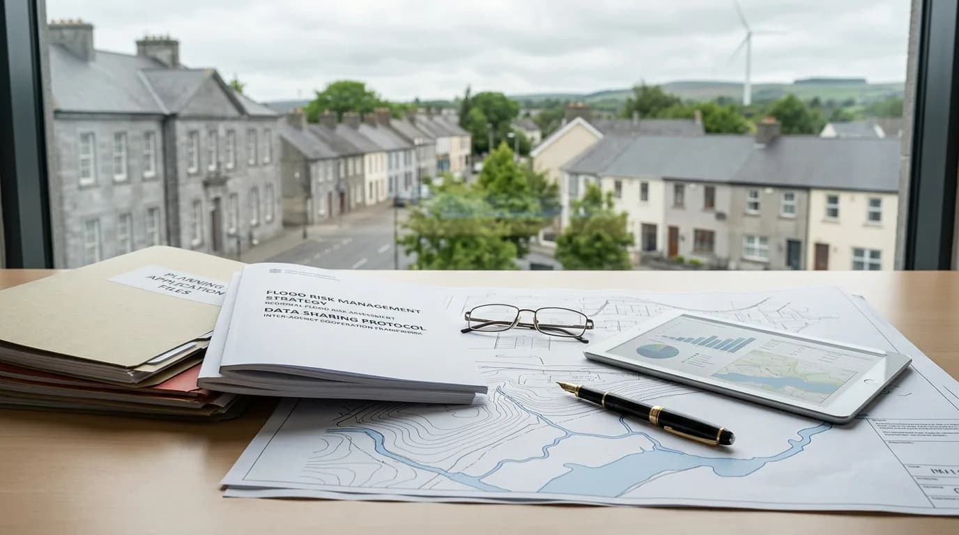
Cabinet Briefed on Met Éireann and OPW Flood Data Sharing Plans
Wednesday 9 September 2026
Government ministers are being updated on proposals to pool flood risk data between Met Éireann, the OPW, and local authorities to improve public warnings.
Government ministers are being briefed on plans to share data between Met Éireann, the Office of Public Works, and local authorities to improve flood forecasting.
The proposal aims to improve how river and coastal flood risks are identified and communicated across Ireland. Under the plans, Met Éireann, which operates as an agency under the Department of Housing, proposes to pool its expertise and data with the Office of Public Works (OPW) and individual local authorities. The goal is to immediately upgrade public information services, allowing businesses and families to make timely responses to flood risks.
Currently, the OPW publishes flood maps to inform emergency planning, while local authorities lead coordinated responses to flood events at a local level. Met Éireann intends to improve how and when it issues flood forecast information to ensure it is readily available to the public and critical emergency response agencies. Housing Minister James Browne has reportedly pushed for these improvements to address the identification and communication of river and coastal flooding risks.