
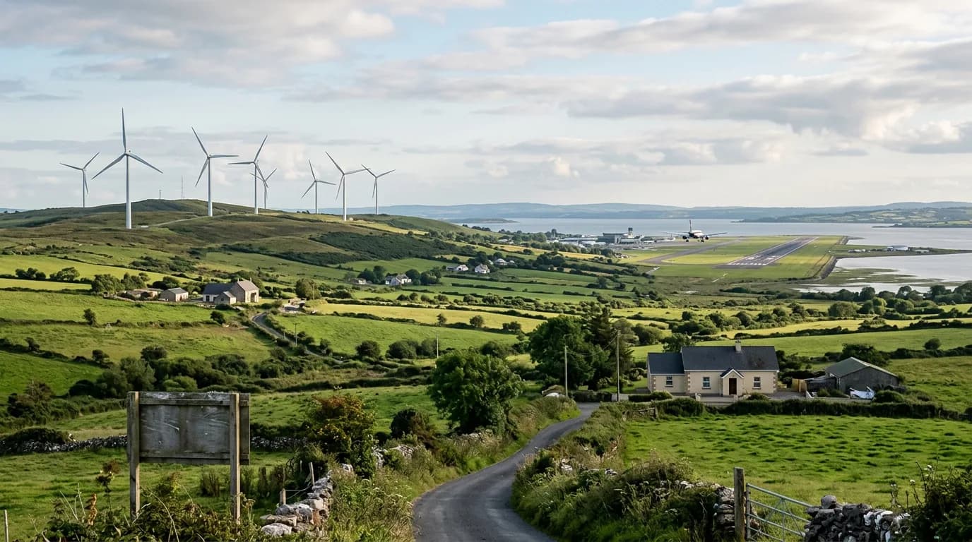
East Clare wind farms threaten Shannon Airport landing capability, Dáil hears
Friday 20 November 2026
AirNav Ireland assessments indicate three permitted wind farms in east Clare could cause Shannon Airport to lose its Category II landing capability, the Dáil has heard.
Assessments by AirNav Ireland show three permitted wind farms in east Clare could compromise Shannon Airport's category II low-visibility landing capability, the Dáil heard.
Speaking on a topical issue debate, Deputy Cathal Crowe highlighted concerns regarding three developments that have received planning permission at Carrownagowan, Fahy Beg, and Lackareagh, alongside three active planning applications at Oatfield, Ballycar, and Knockshanvo.
According to technical assessments from AirNav Ireland, the construction of any of the three permitted projects could result in Shannon Airport losing its Category II (CAT II) status. CAT II capability permits aircraft to land safely during adverse conditions, including fog, heavy rain, and low cloud cover.
Crowe noted that Shannon acts as the State's primary diversion airport for transatlantic traffic experiencing emergencies or severe weather, having facilitated 357 diversions carrying over 39,000 passengers over the past five years, as well as 185 Air Corps aircraft movements in 2025.
Responding for the Government, Minister of State John Cummins stated that aerodrome safeguarding aims to ensure nearby development does not adversely impact aerodrome operations or surrounding airspace. Wind turbines can introduce physical obstructions, radar clutter, or interference with aviation communications, navigation, and surveillance systems, with cumulative impacts from multiple developments also presenting challenges.
Cummins stated that the Department of Housing, Local Government and Heritage recognises tensions between onshore renewable energy generation and aviation safety. He added that potential project-level conflicts require early stakeholder engagement, robust technical assessments, and agreed mitigation measures within the planning process.